Goodreads helps you keep track of books you want to read.
Start by marking “Collins Britain Compact Road Atlas 2009” as Want to Read:
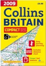
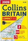
Collins Britain Compact Road Atlas 2009
This handy road atlas combines large scale mapping with an easy-to-carry format to make planning journeys - short or long - simple. As well as clear mapping at 4.2 miles to 1 inch, service stations and places of interest are all shown and you will also find urban area and city centre maps, an easy-to-use mileage chart and a clear index showing over 20,000 place names.
Paperback, 278 pages
Published
by Collins
Friend Reviews
To see what your friends thought of this book,
please sign up.
Reader Q&A
To ask other readers questions about
Collins Britain Compact Road Atlas 2009,
please sign up.
Be the first to ask a question about Collins Britain Compact Road Atlas 2009
This book is not yet featured on Listopia.
Add this book to your favorite list »
Community Reviews
There are no discussion topics on this book yet.
Be the first to start one »