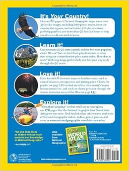
Included in this new U.S. atlas are maps of all the states in two-page spreads, plus their flags; fact boxes (population, area, largest city and capital, main industry and agriculture, statehood); and interesting “Geo Whiz” tidbits, such as “’Happy Birthday’ . . . was the creation of two Louisville sisters in 1893.” Symbols on maps indicate where there is fishing, poultry, wheat, food processing, electrical equipment, and about 55 other economic categories. Arrangement is alphabetical within five geographic areas, and there are also a few pages on U.S. territories. At this price point, libraries should also consider circulating copies. An attractive, inexpensive student atlas, good for browsing and quick reference. Grades 3-6. --Susan Gooden


